


Have questions? Speak to our expert Trek Advisors
We have expert Trek Advisors to help you choose the right trek. So if you have questions like, "Can I do this trek?" or "Who else is trekking?", please get in touch.Talk to our Trek Advisors
TREK DIFFCULTY
Moderate
TREK DURATION
7 days
HIGHEST ALTITUDE
12,887 ft
TOTAL TREK DISTANCE
38 kms
BASECAMP
Gogina
ACCOMMODATION TYPE
Tents
REGION
Uttarakhand
PICKUP DETAILS
Kathgodam Railway station at 5.30 AM
DROPOFF DETAILS
Kathgodam Railway station at 7.00 PM
The Grandest Summit Climb for Beginners in Kumaon
We’ve always celebrated Ranthan Kharak for its rhododendron blooms in spring. Trekkers come back raving about the burst of colours. Yet, in all this excitement, there’s something we all overlook— the summit climb to Ranthan Top.
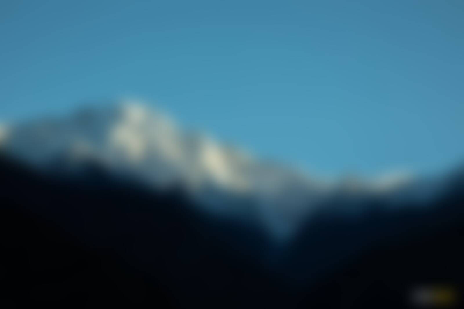
Now, summit climbs in Kumaon are rare for beginners. Most treks here either take you through valleys or are tough crossovers like Trail's Pass. This is where Ranthan Kharak stands out. At Ranthan Top, you stand at a grand summit with the most iconic peaks of Garhwal on one side and Kumaon on the other. To your left rise Nanda Devi, Nanda Kot, Trisul, Maiktoli and Mrigthuni. To your right, the entire Panchachuli Range stands tall, flanked by Rajarambha and Meneka. Very few vantage points in our country give you this sweeping panorama of both regions together. This climb to Thal Tok and onwards to Ranthan Top is exhilarating, And yet, it can very realistically be attempted by fit beginners.
The trail builds beautifully to this summit climb. From Gogina, your base camp, you first catch a shy glimpse of Dang Thyal. At Bajimanian Kharak, it towers in full view. The ledge walk to Thal Tok brings the mighty Nanda Devi into sight. From your campsite here, you wake up to Nanda Devi East glowing in the morning sun. And then comes the climb to Ranthan Top — the grand finale of your trek.
Trekkers share why they loved Ranthan Kharak
Vinayak Jayant Oak
Age 55, IBM, Pune
Devansh Chouhan
MBBS Student
Koushik Krishnan
Bangalore
Saumya
Group of May 2024 | Age 16, Pune
Vinayak Jayant Oak
Age 55, IBM, Pune
Devansh Chouhan
MBBS Student
Koushik Krishnan
Bangalore
Saumya
Group of May 2024 | Age 16, Pune
Ranthan Kharak - Complete Trek Information
We have always wanted trekkers to be well-informed before they go on a Himalayan trek. Knowledge is the difference between a safe trek and a dangerous one. It’s also the difference between a wholesome experience and a superficial experience.
Use this section to learn about the Ranthan Kharak trek. It has in-depth information about each day of the trek, what to expect, and how you need to prepare for it. Many years of expertise have gone into this content. Trekkers find these extremely useful.


The Indiahikes Spirit of Trekking
We're always ready for adventure
Trekking comes with uncertainty. Weather, terrain, and setbacks are part of the journey. We embrace them with resilience and openness—each challenge makes us stronger and more appreciative of nature's beauty.
We embrace low-noise trekking
We blend into nature, not the other way around. We avoid shouting, loud music, and noisy games. In silence, we hear birdsong, streams, and the wind—inviting peace, reflection, and a deeper connection with nature.
We protect the environment
We protect the environment by minimising waste, reusing resources, and picking up litter. We carry eco-bags, segregate waste, and inspire others to preserve trails. Sustainable trekking ensures these mountains remain beautiful for future generations.
We are self-sufficient
We carry our load as much as possible, manage our gear, and stay prepared for all situations. Self-sufficiency builds confidence, independence, and respect for fellow trekkers, support staff, and the trail itself.
We support each other
Trekking is not a solo act. We wait for each other, share burdens, and uplift teammates. By putting the group first, we build strong bonds and help everyone complete the trek joyfully.
We are fit and prepared
We train well before our treks. This helps us walk longer, handle emergencies, and contribute to the team. Fitness ensures we are never a burden and always ready to help when needed.
Photo Gallery
Also Read
Highlights on the Ranthan Kharak Trek
What I Like About Ranthan Kharak Trek
Trek Trivia
Who is Balchan Devta and what is the story behind the legendary Balchan Kund?
On Day 3 of the Ranthan Kharak Trek, you camp at Bajimanian Kharak, a secluded clearing amidst dense forests. The campsite is enchanting on its own, but just a short walk away lies a mythical kund (a small waterbody) waiting to be discovered. This is the Balchan Kund. A fascinating story ties it to Balchan Devta, the local deity of Namik village.
Long ago, Namik village faced a severe water crisis. With no water to drink, the villagers were in despair. It is said that Balchan, who is now worshipped as Balchan Devta, created this kund and saved the village. He also discovered other water sources for the villagers. Out of gratitude and reverence, Balchan was hailed as Balchan Devta. There is a grand temple dedicated to him at Namik village. To date, Balchan Kund continues to provide water for Namik village all year round.
So, if you are on the Ranthan Kharak Trek, do not miss out on visiting the legendary Balchan Kund. It is also a very quiet spot and a haven for observing birdlife.
Why is Nanda Kund so special? An untold story from the Ranthan Kharak Trek!
Beyond Balchan Kund, there is another sacred kund called Nanda Kund. This kund is believed to have been created by Nanda Devi, the daughter of the Himalayas and the wife of Lord Shiva.
Folklore in the region tells us that Nanda Devi is the eldest of the seven divine daughters of the Himalayas. People celebrate Nanda Devi not just in this area but all across Uttarakhand. Many temples are dedicated to her throughout the state. Even the tallest peak in India, Mt. Nanda Devi, is named after her.
Mt. Nanda Devi stands right at the border of Garhwal and Kumaon. The stories surrounding this mountain deity vary significantly not only between Garhwal and Kumaon but also from one village to the other. Some of these stories link the ring of peaks surrounding Nanda Devi to the seven sisters of the Goddess.
In the high reaches of these mountains, Lord Shiva sat lost in a timeless meditation. Nanda Devi wandered in the region in search of him. One day, while searching for Shiva, She felt very thirsty but couldn’t find any water. To quench Her thirst, She created this waterbody, which later came to be known as Nanda Kund.
At Nanda Kund, devotees navigate a tough trek from Namik to collect the sacred Brahmakamal flower before Nandashtami which falls in September every year. They take a dip in the holy water and bring back the flower to be presented to Nanda Devi at her temples. Villagers also receive this flower as a blessing when they visit the temple.
The tradition of worshipping Nanda Devi dates back to the 16th century when the Chand kings of Kumaon began celebrating her through grand festivals. Even today, the Nanda Devi Fair is held annually at temples dedicated to her, featuring processions, cultural performances, and local crafts.
You do not see the Nanda Kund on the Ranthan Kharak trek. However, the same ridge that leads you to Ranthan Top continues up to the mythical Nanda Kund.
Treks by Categories
Follow Us On


Contact Us

080 468 01269

Mon to Fri - 9.30 AM to 7.30 PM
Sat and Sun - 9.30 AM to 6.30 PM
Bengaluru Office
139, Defence Colony Road, Defence Layout, Sahakar Nagar, Bengaluru, Karnataka - 560092
Dehradun Office
Mohabbewala, Titan Road, Near Titan Factory, Chandramani Khalsa Dehradun - 248002